The blogger and author John Michael Greer wrote the book
Star's Reach set centuries after the decline of industrial civilisation in the wake of resource depletion and climate change.
He is now looking for stories for a shared-world anthology set in the same world as Star's Reach, the
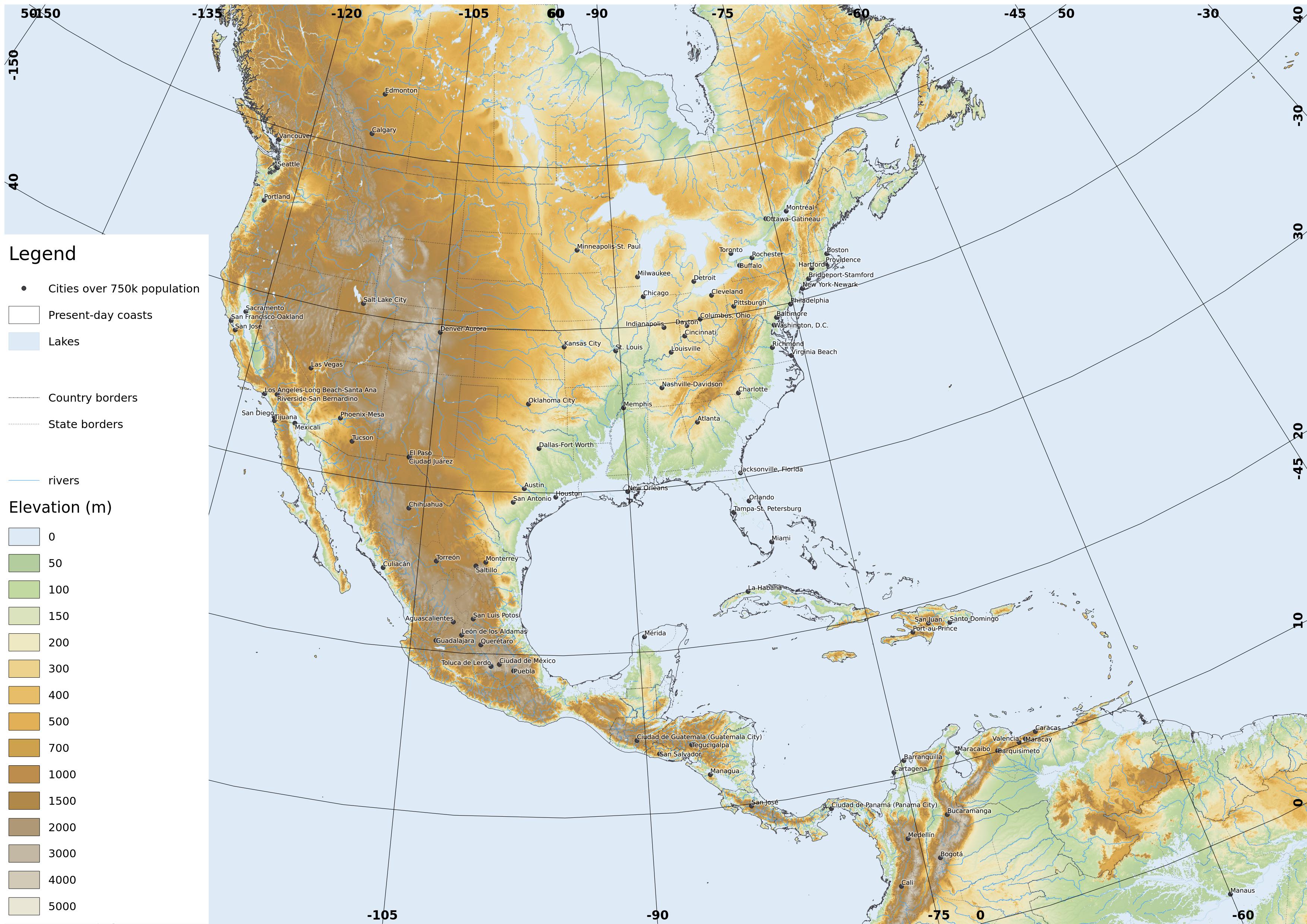
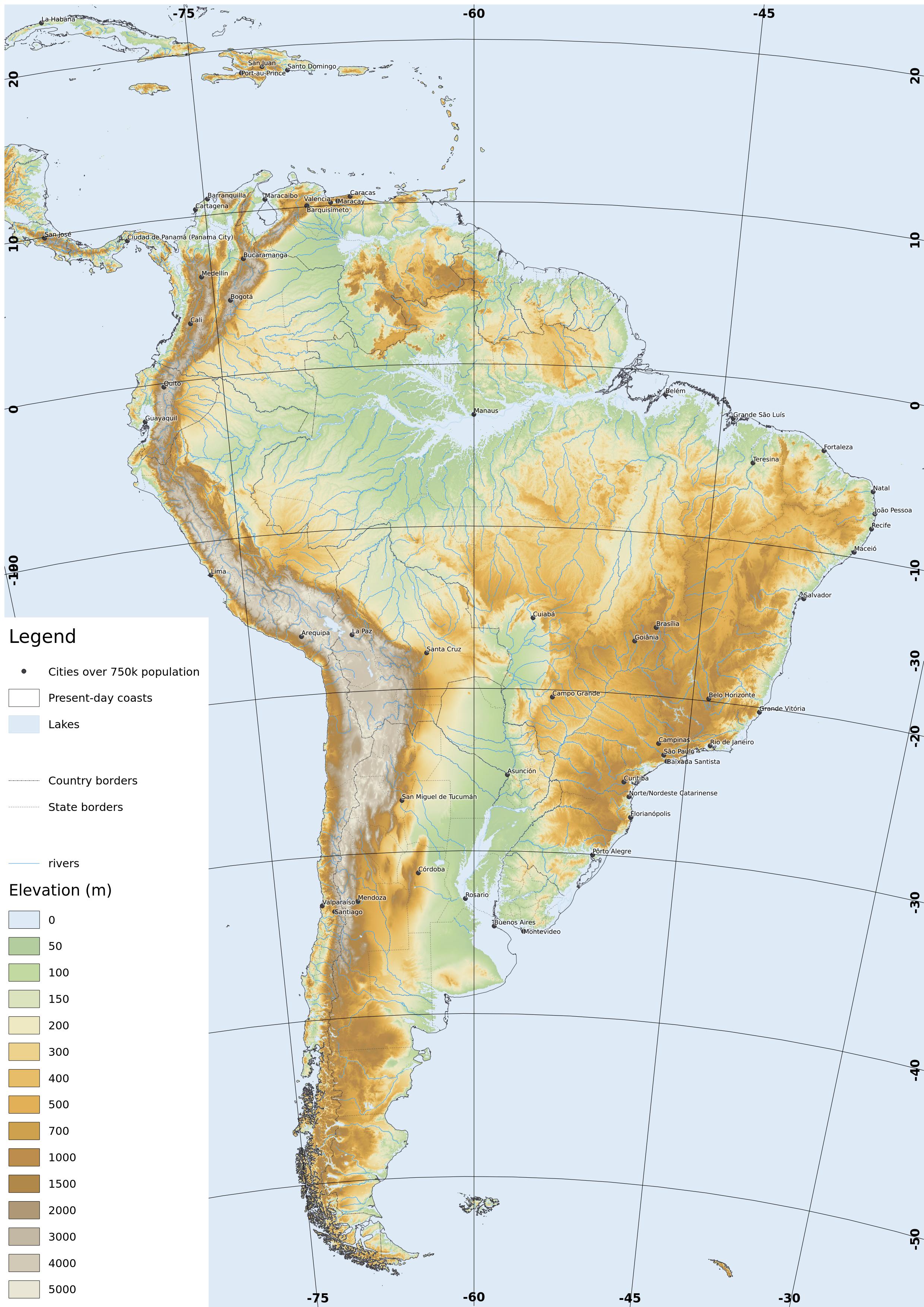
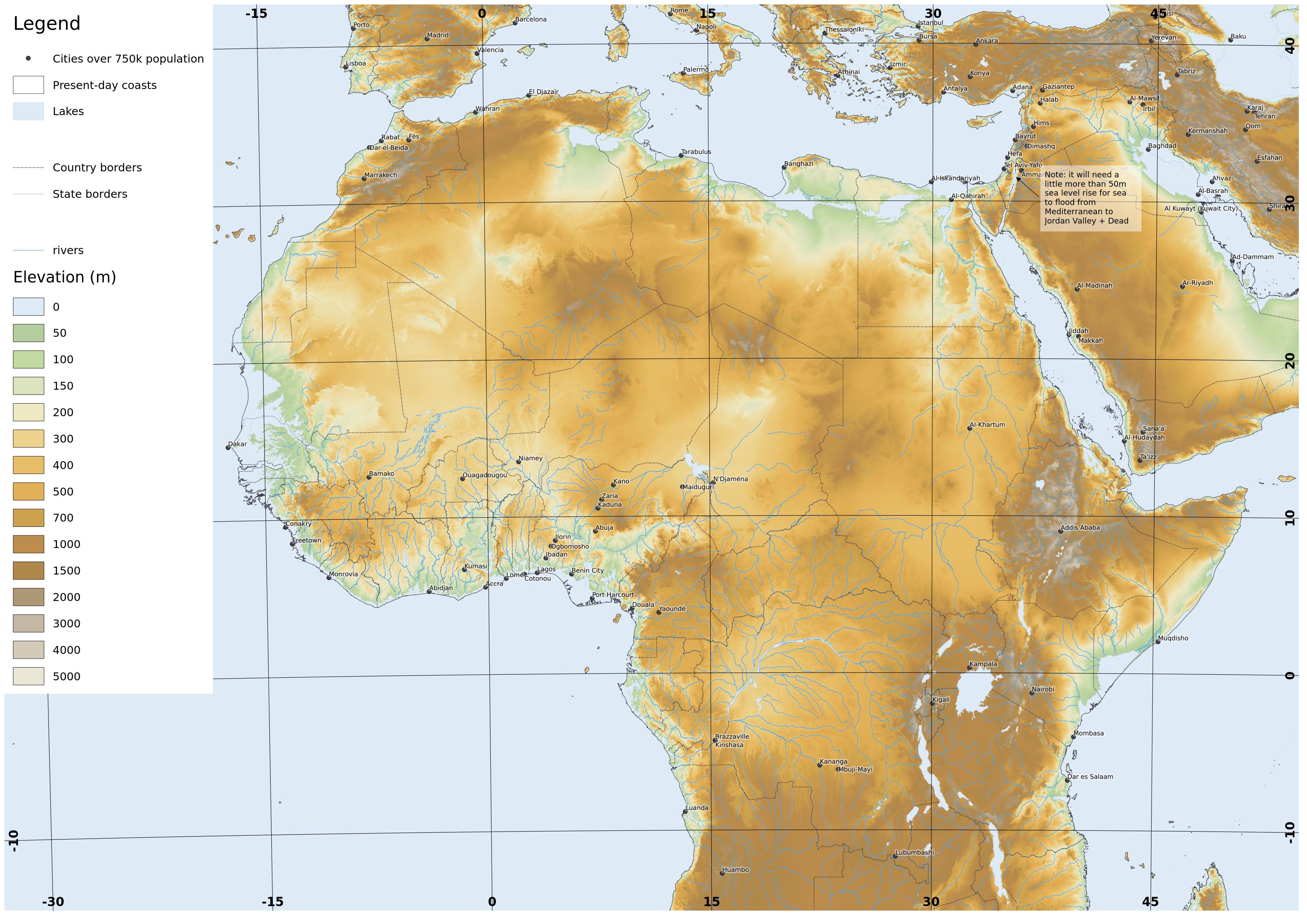
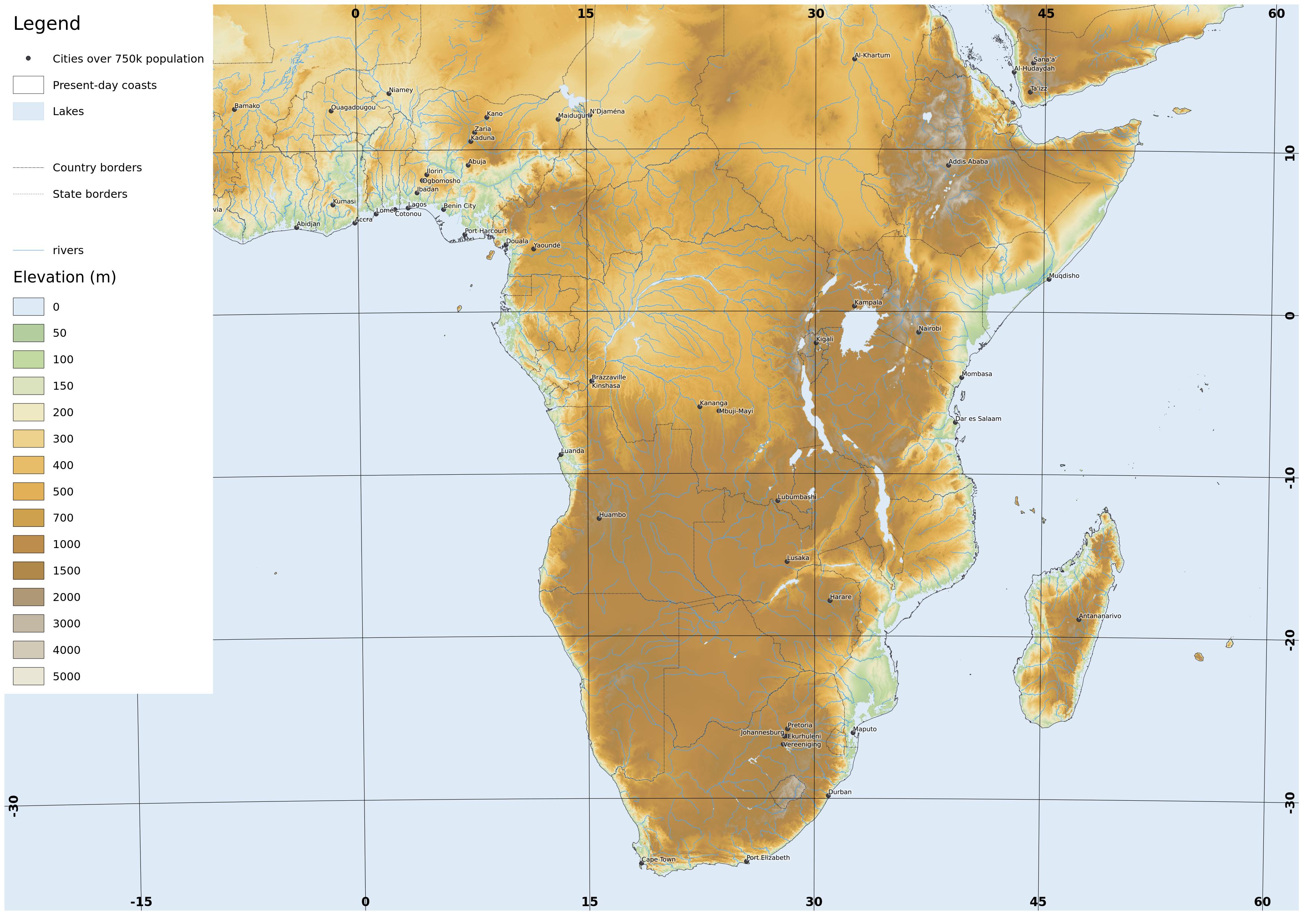
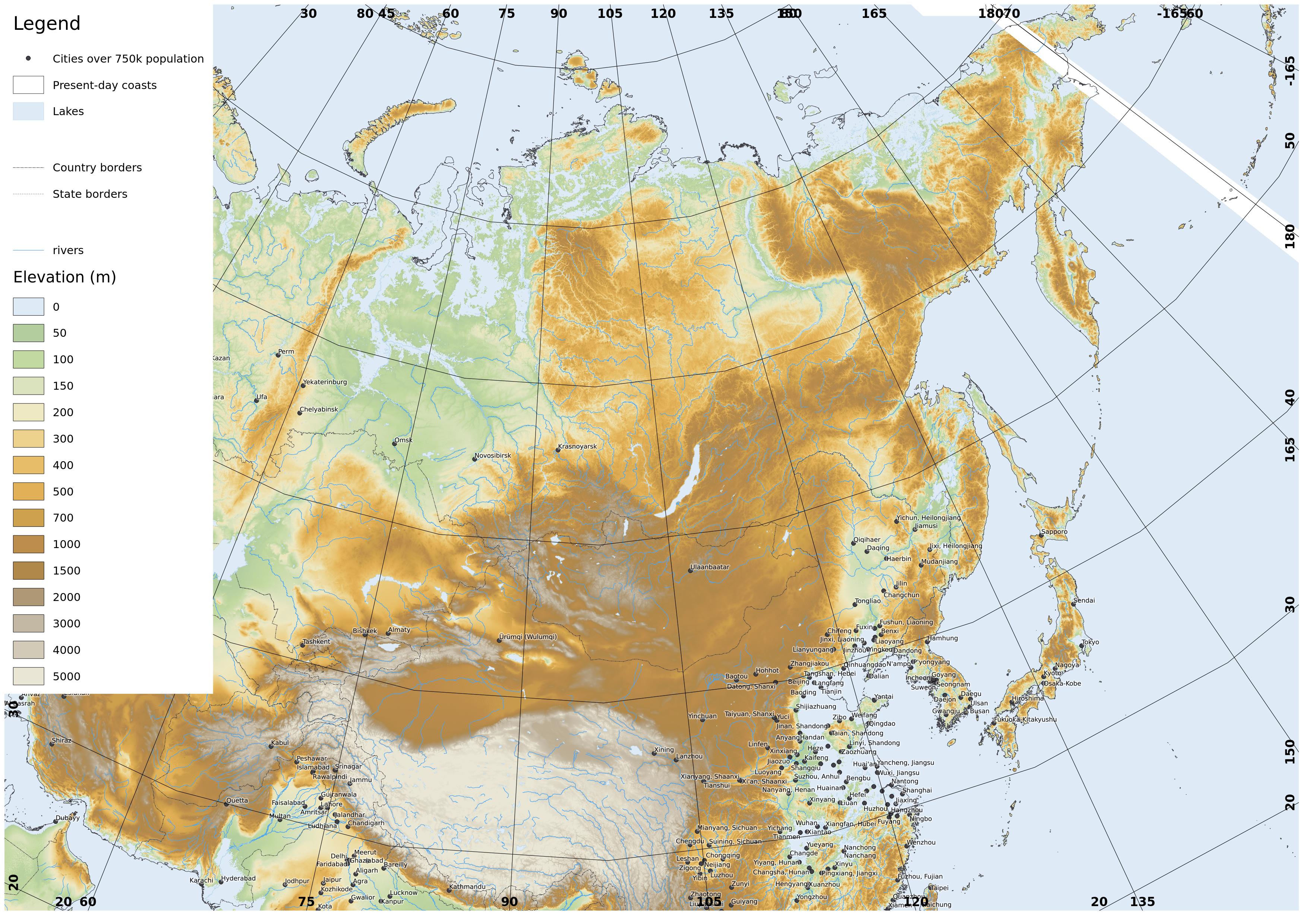
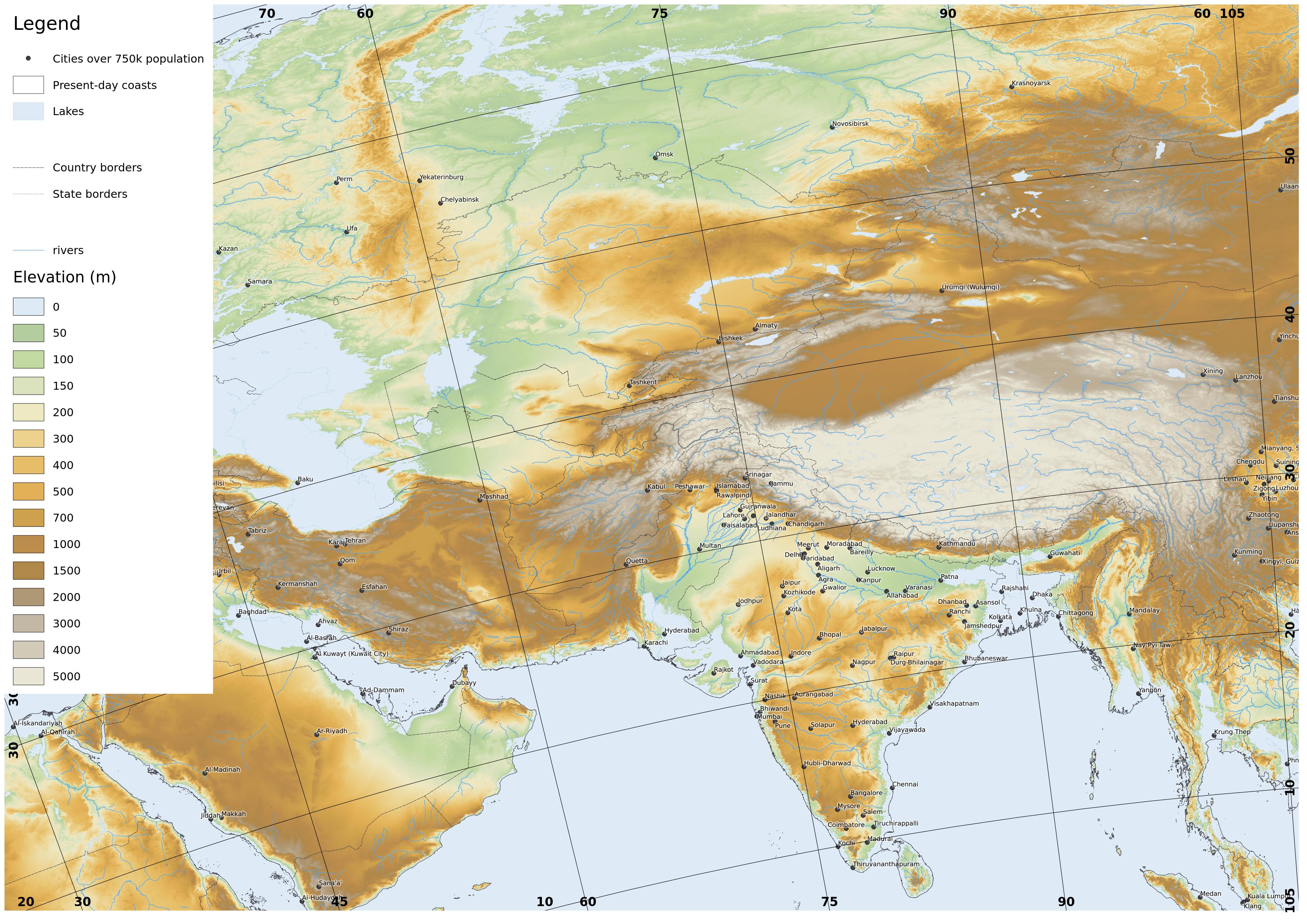
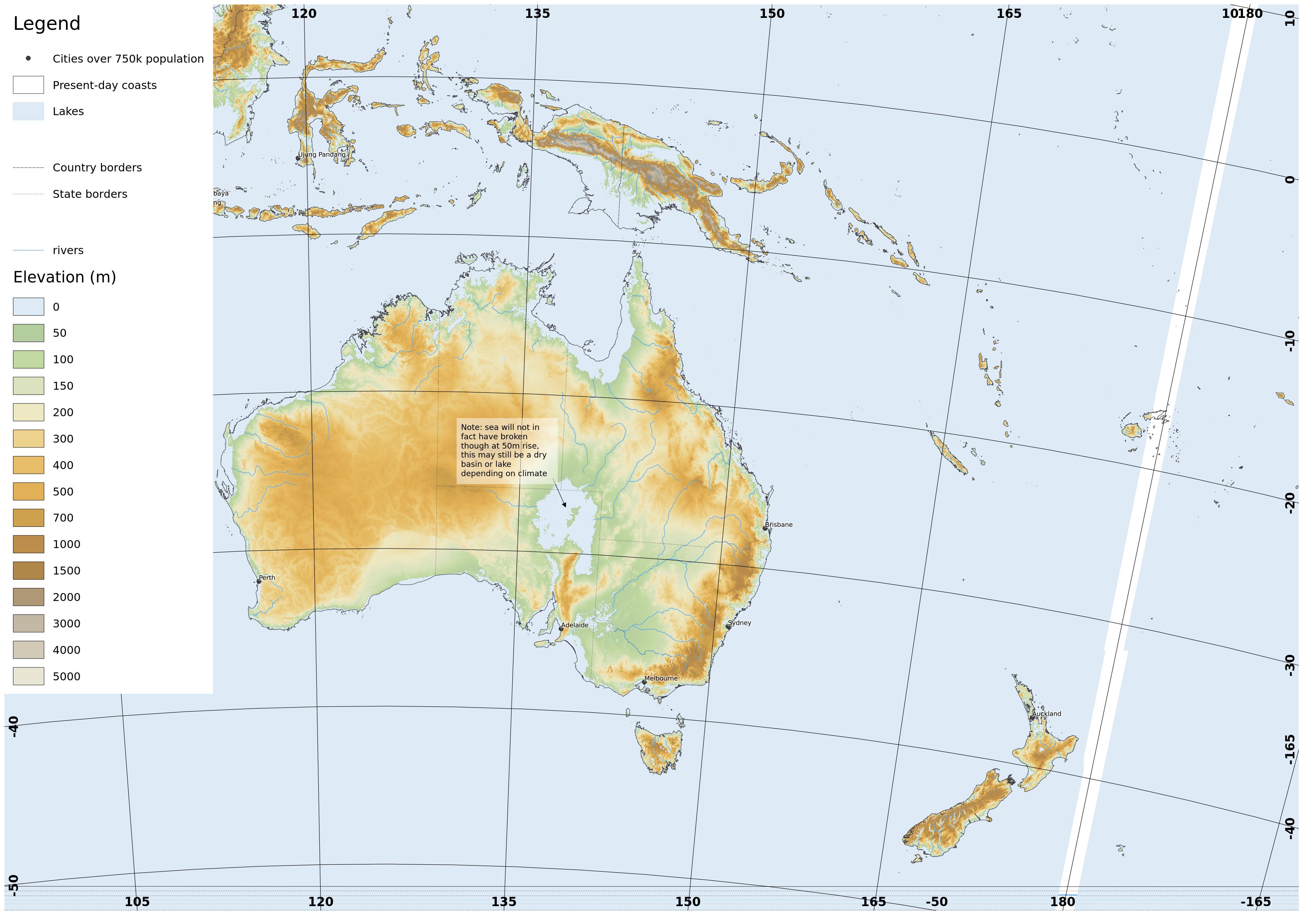
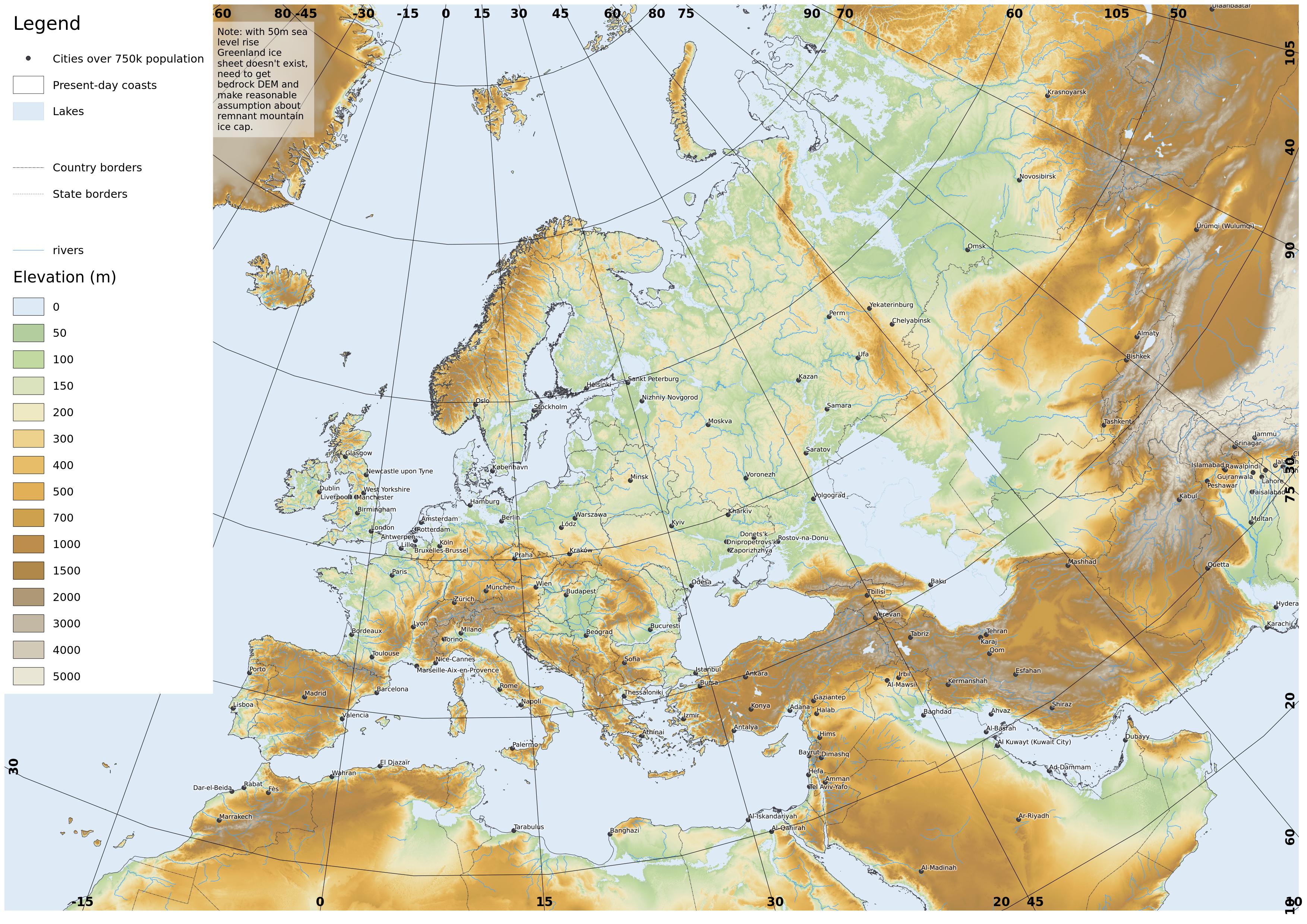
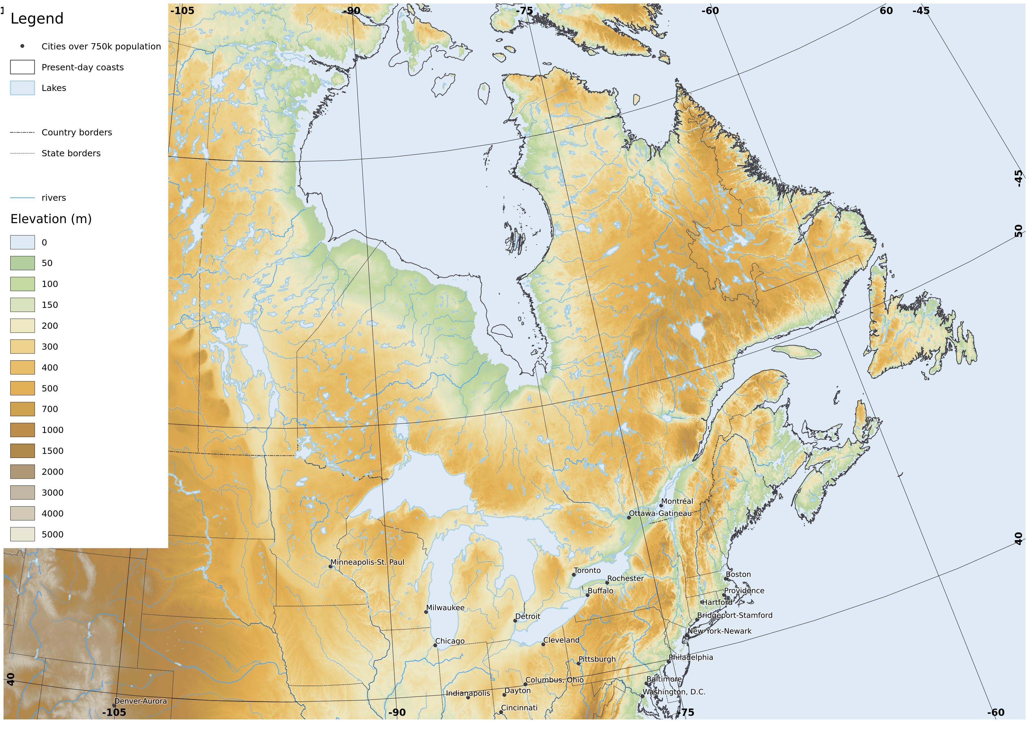
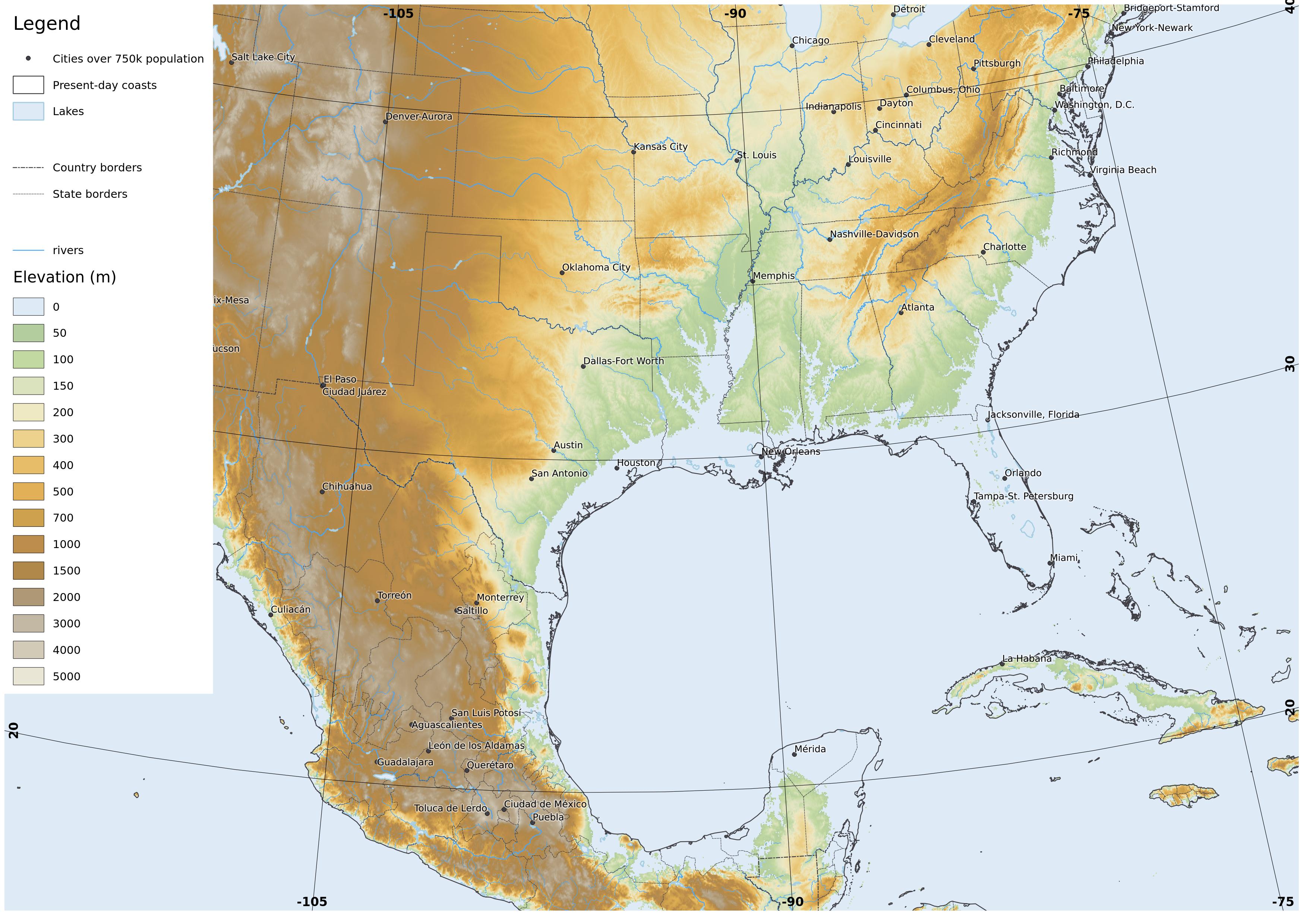
Meriga Project. In the 25th century, the Greenland ice cap and most of Antarctic ice have melted leaving sea level 50m higher than at present. It is possible to view the effect of this at websites like
flood.firetree.net.
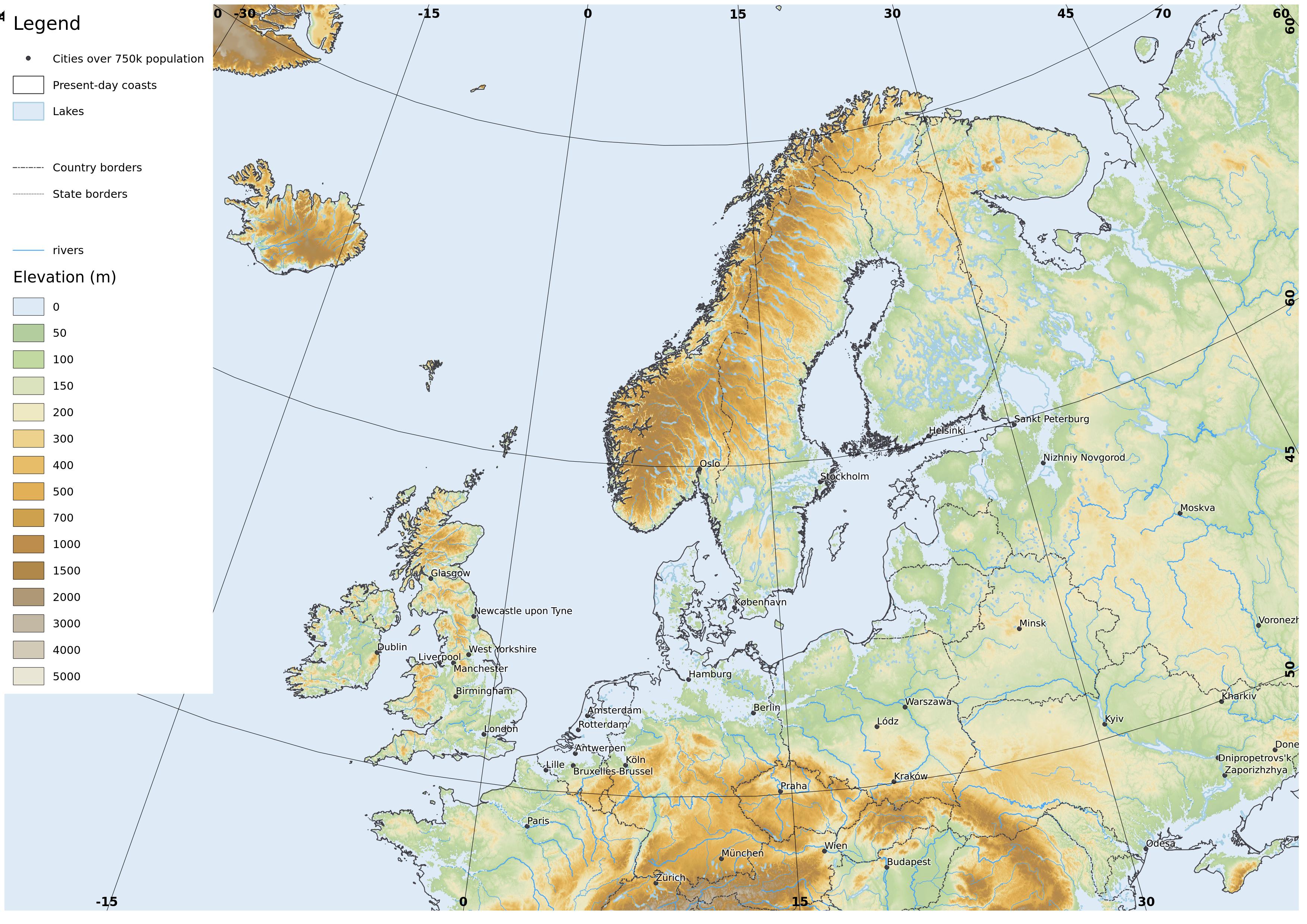
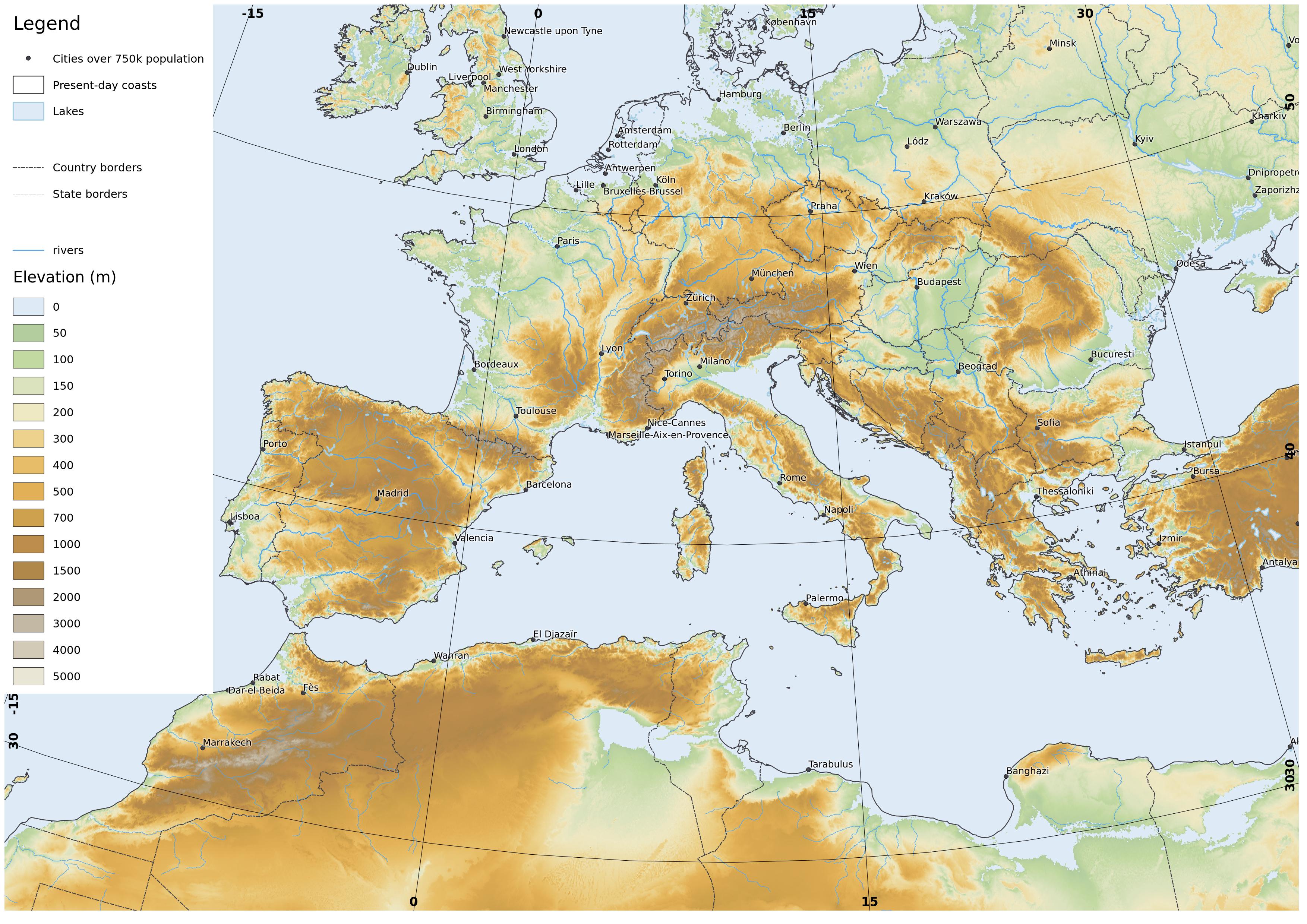
I thought it worthwhile however to make my own maps of this world in
QGIS. I have used the
CleanTopo2 digital elevation model. For reference I mark present day coastlines and borders from the
Global Self-consistent, Hierarchical, High-resolution Geography Database (NOAA) and the locations of major urban areas >750k inhabitants, from
Nordpil (based on data from the UN Population Division).
I have used an
Equidistant Conic Projection for the continental scale ones, and
Albers Equal Area Projection for the more close-up ones. Most of the maps have a scale of 1:30 million if printed at A4. I link to full-size JPGs of the maps at my own website.
I have not included Antarctica so far, I may do so later if I get hold of a decent bedrock DEM and make some reasonable assumptions about remnant ice sheets at this point.
 |
| The northern part of N America, comprising present-day USA, Canada and Greenland. full-size version |
 |
| Australasia. Note the sea does not actually flood the Lake Eyre basin in Australia (link). full-size version |
 |
| A closer view of eastern Canada and NE USA. This has a different projection which if I remember rightly was Albers Equal Area Conic. full-size version |


Fascinating. Thanks for all the work you put into this project.
ReplyDelete